
Gulmarg Region
THE BOTTOM LINE
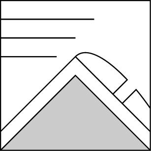
Areas of wind slab at alpine elevation ridgetops on North aspects. Deep persistent weak layer has failed in some places during past Friday/Saturday storm. As of today it has once again gained adequate strength. Be mindful of sudden rise in temperature and sustained warm temperatures on South aspects. Both will have an effect of increasing avalanche risk.
Avalanche Danger

Danger Scale
Avalanche Problems (2)
Problem #1: Wind Slab
Problem Type
Aspect/Elevation
Likelihood
Size
Problem #2: Persistent Slab
Problem Type
Aspect/Elevation
Likelihood
Size
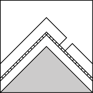
This avalanche problem is at the bottom of the snowpack. Very large crystals with lots of open space between. Imagine an entire layer of the snowack, 2"-6"or more of this crystal matrix and its weakness in supporting additional layers of snow becomes significant. Where did these large crystals come from? They are the evolution of regular snow flakes which fell out of the sky back in November (one of the coldest months of the year). As these snow flakes accumulated on the ground, they formed the first snowpack of the season. What cuased them to undergo such a dramatic change is due to extreme seasonal conditions generally only occuring at the beginning of winter; extra cold temperatures, extra shallow snow pack, and finally extra time enduring these conditions. So how do we deal with this problem? The bad news is this problem can remain for the entire winter until Springtime melts the snow and the only way to effectively rid ourselves of this weak layer is by avalanches!
Mountain Weather

View detailed snow forecast for Gulmarg at:
snow-forecast.com
This avalanche advisory is provided through a partnership between the Jammu and Kashmir State Department of Tourism and the Gulmarg Avalanche Center. This advisory covers the Pir Pinjal range accessible from the Gulmarg Ski Area. Click here for a map of the forecast area. This advisory describes general avalanche conditions and local variations always occur. This advisory expires 24 hours after the posted time unless otherwise noted. The information in this advisory is provided as public a service. The user of this information accepts all risks and responsibility.